“Our navigation skills can only stagnate in the Midlands” – MapRun Supremo Chris Millard discusses
“The only way to improve your navigation is to get outdoors and practice in the most technical areas. The area needs to be a forest. Ideally in Scandinavia. Navigation skills can only be refined further by taking on mega long courses within these areas. Ideally competition must be monitored using the most up-to-date pin-punch technology.”
Ok, ok, so the paragraph above is quite direct, starts with good intentions, but ends on a rather bizarre note. How much of the statement is correct? Let’s explore the first sentence.

It would be amazing to live on an edge of an extensive technical area, with a new section to explore for each training session. Add to this unlimited training time – and unlimited energy – and imagine how good we could get! Some of us are lucky enough to have been in this situation on holiday; however, most of us here can only dream. Does this mean our navigation skills can only stagnate in the Midlands?
I would argue that we can make significant improvements even in urban locations. The explosion of urban events must be testament to this and the UK Urban League is vibrant and growing in popularity. It is rare to hear competitors complaining that the competition was too straightforward. Many people have made significant improvements in the way they read a map and navigate round a course.

Let’s take another part of the statement above, that we need to be running ultra long courses to refine our navigation. Again, I would argue that there are many other ways to improve. Having coached a group of DVO members recently, I hope they would agree that doing short loops round a compact area does wonders for tidying up the way we orienteer. It is important to remember to use our toolbox of skills; have a plan for each, focus on direction, picture and distance (https://betterorienteering.org/plan-picture-direction-2/). Otherwise, we get lost and frustrated. Again.

The last part of the statement was added to show that our sport has progressed and will continue progressing. Pin-punching, back in the day, was the gold standard in confirming competitors had visited all the controls. Electronic dibbers (SportIdent and EMIT timing) are now the norm. But what’s to say that these methods won’t be superseded again. And why not by GPS? While GPS positioning is not currently accurate enough for top end competitions, we are starting to use it in smaller local competitions.
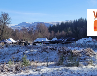
So, Thursday MapRuns; what are they and what are they designed to do? Essentially, MapRuns are urban training sessions that use GPS timing, are simple to plan and simple to organise. All the controls are virtual (except the start and finish) and the events place very little burden on volunteers. We aim to make each session accessible to newcomers but also ensure that they are long enough and technical enough to provide fitness and navigation training for established orienteers.

The relatively short course format of MapRuns allows practice and progression of skills. In the briefing before the mass start, we have focused on: orientate your map, visualise where you are going, take note of contours and have a plan to get back within the hour.

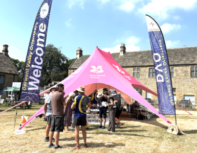
After a few events, we encourage competitors to make the step to navigating with a paper map, and we encourage them to come to our Saturday Level D competitions. At most of the Levels Ds we are providing maps and physical controls but incorporating MapRun timing (with the exception of Whitworth Park and Darley Dale 11.1.25 and Derby Dracula 12.4.25 which use SI). You may have noticed that we aim to hold an event on the second Saturday of each month!
So, I would argue that taking part in any of the MapRuns or Level Ds will improve your navigation. Support us – you may find that you enjoy them more than you first thought! The Spring MapRun programme is here!